Dominion Atlantic Railway Digital Preservation Initiative - Wiki
Use of this site is subject to our Terms & Conditions.
File:Torbrookspurmap.jpg
From DARwiki
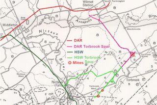
Size of this preview: 800 × 534 pixels. Other resolutions: 320 × 214 pixels | 930 × 621 pixels.
Original file (930 × 621 pixels, file size: 417 KB, MIME type: image/jpeg)
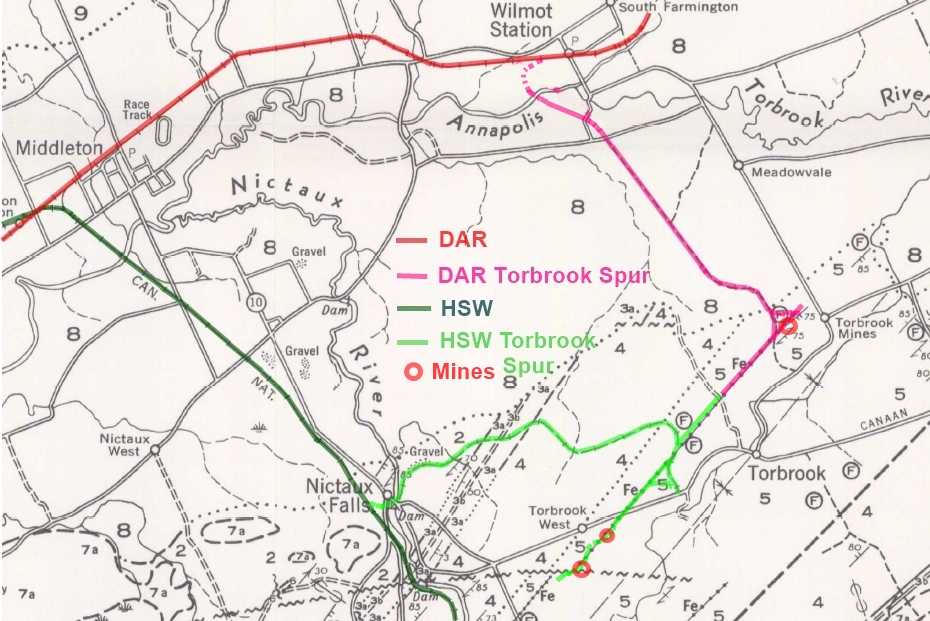
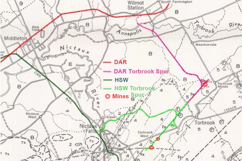
Annotated detail from "Nictaux Torbrook" geological map (1960) showing the Dominion Atlantic Railway spur from Wilmot to Torbrook Mines and the Halifax and Southwestern Torbrook Spur from Nictaux to Torbrook.
Annotations by Dan Conlin. Updated Feb 23, 2016. Original 1960 Map: http://geoscan.nrcan.gc.ca/starweb/geoscan/servlet.starweb
File history
Click on a date/time to view the file as it appeared at that time.
| Date/Time | Thumbnail | Dimensions | User | Comment | |
|---|---|---|---|---|---|
| current | 20:06, 23 February 2016 | | 930 × 621 (417 KB) | Dan conlin (talk | contribs) | Annotated detail from "Nictaux Torbrook" geological map (1960) showing the Dominion Atlantic Railway spur from Wilmot to Torbrook Mines and the Halifax and Southwestern Torbrook Spur from Nictaux to Torbrook. Annotations by Dan Conlin. Updated Fe |
You cannot overwrite this file.
File usage
The following 2 pages use this file: