Dominion Atlantic Railway Digital Preservation Initiative - Wiki
Use of this site is subject to our Terms & Conditions.
File:Digby 21 A12 West.jpg
From DARwiki
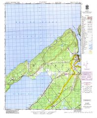
Size of this preview: 492 × 599 pixels. Other resolutions: 197 × 240 pixels | 2,000 × 2,436 pixels.
Original file (2,000 × 2,436 pixels, file size: 506 KB, MIME type: image/jpeg)
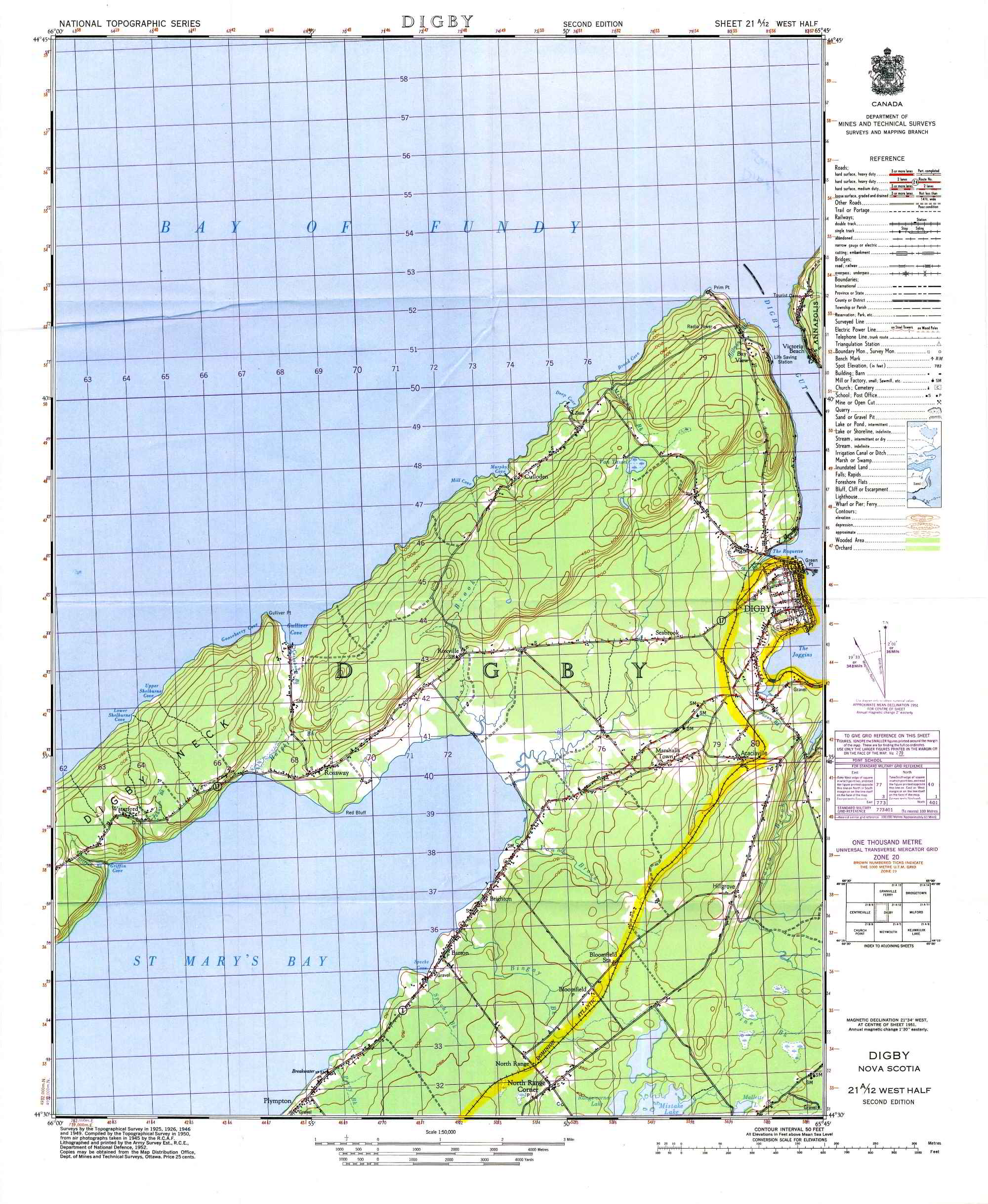
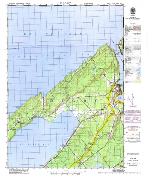
Topographical map of Digby, Acaciaville, Bloomfield and North Range, 1952, based on surveys in the 1920s and 40s.
Note: JP2 files are available upon request that provide double the resolution and many more times the quality. Please ask in the forum.
File history
Click on a date/time to view the file as it appeared at that time.
| Date/Time | Thumbnail | Dimensions | User | Comment | |
|---|---|---|---|---|---|
| current | 10:55, 26 November 2009 | | 2,000 × 2,436 (506 KB) | Stem (talk | contribs) | *Ken McIlvoy collection Note: JP2 files are available upon request that provide double the resolution and many more times the quality. Please ask in the forum. Category:Ken McIlvoy Collection [[Category:Topograph |
You cannot overwrite this file.
File usage
The following 4 pages use this file: