Dominion Atlantic Railway Digital Preservation Initiative - Wiki
Use of this site is subject to our Terms & Conditions.
File:CVR geomap 1911.jpg
From DARwiki
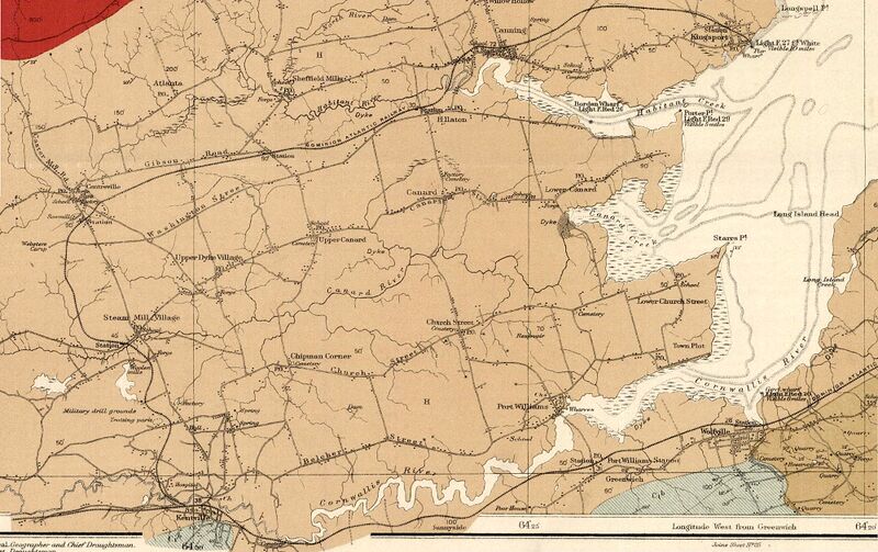
Size of this preview: 800 × 503 pixels. Other resolutions: 320 × 201 pixels | 2,000 × 1,258 pixels.
Original file (2,000 × 1,258 pixels, file size: 2.3 MB, MIME type: image/jpeg)
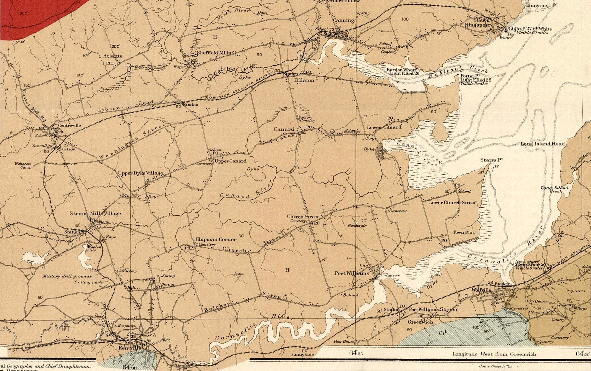
Summary
Map of the Cornwallis Valley Railway/Kingsport Subdivision in 1911, detail taken from Map 13 A "PROVINCE OF NOVA SCOTIA, Kings and Hants Counties, Kingsport Sheet No. 84"; Hugh Fletcher, L. N. Richard, Geological Survey of Canada, Dept. of Mines, Canada, Multicoloured Geological Map 1037, 1911.
File history
Click on a date/time to view the file as it appeared at that time.
| Date/Time | Thumbnail | Dimensions | User | Comment | |
|---|---|---|---|---|---|
| current | 20:52, 1 September 2021 | | 2,000 × 1,258 (2.3 MB) | Dan Conlin (talk | contribs) | Map of the Cornwallis Valley Railway/Kingsport Subdivision in 1911, detail taken from [https://geoscan.nrcan.gc.ca/starweb/geoscan/servlet.starweb?path=geoscan/fulle.web&search1=R=108011 Map 13 A "PROVINCE OF NOVA SCOTIA, Kings and Hants Counties, Kingsport Sheet No. 84"; Hugh Fletcher, L. N. Richard, Geological Survey of Canada, Dept. of Mines, Canada, Multicoloured Geological Map 1037, 1911]. 13 |
You cannot overwrite this file.
File usage
The following 3 pages use this file: